Wiri Mountain


HONOUR THE MAUNGA / WIRI MOUNTAIN
MAUNGA NAME: Wiri Mountain / Matukutūruru
LAND AREA: Approximately 3.8 hectares
A BRIEF HISTORY
Wiri Mountain is part of a local volcanic field in the South Auckland area bordering the Manukau Harbour. The extensive field was dominated by Wiri Mountain and nearby McLaughlin’s Mountain, both of which were pā sites during Māori occupation. When the first European missionaries passed through the South Auckland area in 1834 they reported little evidence of occupation by Māori.
William Fairburn purchased 40,000 acres, stretching from Papatoetoe to Papakura, directly from Māori in the 1830s. When this transaction was examined by Governor Hobson after 1840, all but 2500 acres of the purchase was disallowed. The Crown, however, did not return the land to the previous Māori owners. A land swap (to establish a capital for the new colony of New Zealand at Russell, Bay of Islands) by the Crown saw 10,000 acres of what is now Wiri transferred to Captain James Clendon.
In 1845 William McLaughlin purchased 2846 acres in Wiri. The area surrounding and including the volcanic cone eventually became the main quarry for NZ Railways and extensive quarrying saw both Wiri Mountain and McLaughlin’s Mountain all but disappear. A small area on the northern lower slopes of the almost non-existent Wiri Mountain was transferred to the control of the Tūpuna Maunga Authority as part of the Ngā Mana Whenua o Tamaki Makaurau Collective Redress Act (a Treaty settlement).
SIGNIFICANT ALTERATIONS TO MAUNGA
Wiri Mountain has been extensively quarried for scoria for railway building and in more recent times for roading metal. A lake formed in the quarry pit at the centre of the area previously occupied by the mountain, but this has been drained and filled. There is no longer evidence of a hill at Wiri Mountain. The previous site of Wiri Mountain is used for various industrial activities other than 3.8 hectares, which has been designated an Historic Reserve. The Historic Reserve is a 'U' shaped plot fronting on to Wiri Station Rd covered in piles of rubble, rocks and overgrown weed vegetation.
Toward the front centre of the plot is Jacaranda House, built in 1928, an attractive stone and concrete dwelling which is no longer occupied and boarded up. This building is not listed on the Tūpuna Maunga Authority list of assets for Wiri Mountain and there is no evidence of any protection for this building under Auckland Council.
Interestingly, the maunga houses Wiri lava cave - Auckland's longest known lava cave at around 290 metres. Because it features rare lava stalactites the cave has garnered international renown. The cave entrance is locked, and entry is by permit only. The cave’s dimensions vary from 7.6 m high by 3.6 m wide, down to 1.1 m high by 0.2 m wide. It is situated about 4 m below Wiri Station Rd.
INFORMATION ABOUT TREES ON WIRI MOUNTAIN
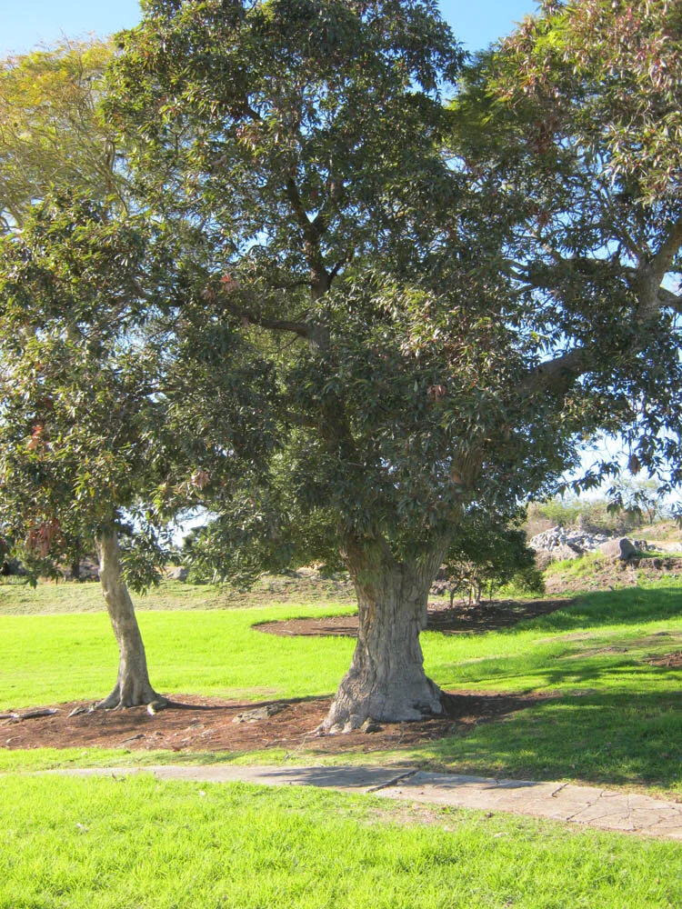
There are only 8 trees on Wiri Mountain. The remaining vegetation on what is left of the mountain is scrub, gorse and wilding wattles.
Tūpuna Maunga Authority advised via the Auckland Council publication 'Our Auckland', that they would be planting 5400 trees on Wiri Mountain. There is evidence of some new planting in the area toward the rear of the previous parking area. This planting is comprised of grasses, flaxes and low growing shrubs. There is no evidence of any recently planted trees.

SIGNIFICANT TREES ON MAUNGA
The 8 trees on Wiri Mountain comprise 3 medium size Pine trees, 2 native trees and 3 exotic trees. All of these trees are in the area around Jacaranda House.
CONTACT DETAILS FOR HONOUR THE MAUNGA / WIRI MOUNTAIN
N/A – Currently contact can be made with: honourthemaunga@gmail.com
OTHER GROUPS OF INTEREST
N/A